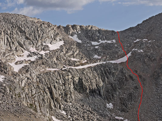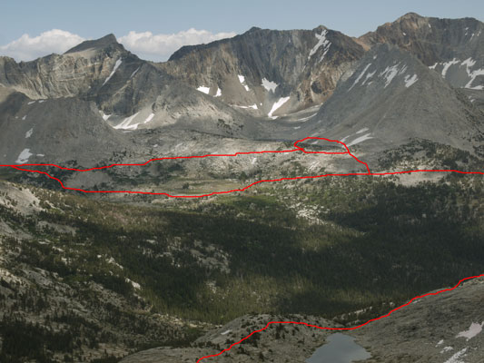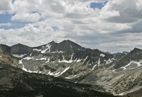
Mather Pass from Ascent to Vennacher Pass C
The report for this 2017 trip with Jim is on this separate page.
This page shows each day's route on the topographic map in red or blue and compares the route shown on the map versus landscape photographs.
| USGS Topographic Quadrangle Maps | |||||||||||||
|---|---|---|---|---|---|---|---|---|---|---|---|---|---|
|
|
118° 22½' W→ | 118° 15' W→ | ||||||||||
| 30'x60' Bishop 1°x1° Mariposa East |
|||||||||||||
| 15' Mount Goddard | 15' Big Pine | ||||||||||||
| ↑37° 7½' N ↓37° N |
7½' North Palisade | 7½' Split Mountain | 7½' Fish Springs | ||||||||||
| ↓36° 52½' N | 7½' Marion Peak | 7½' Mount Pinchot | 7½' Aberdeen | ||||||||||
| 15' Marion Peak | 15' Mount Pinchot | ||||||||||||
| 30'x60' Mount Whitney 1°x1° Fresno East |
|||||||||||||
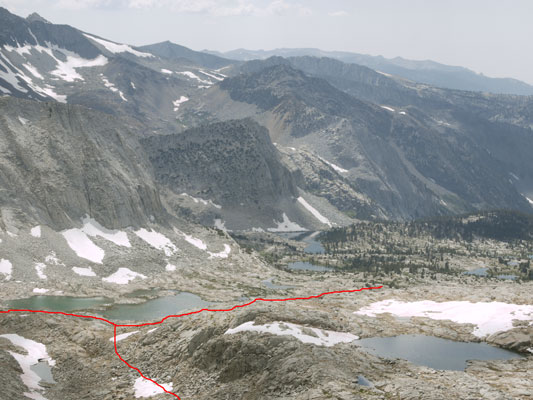
Lakes Basin from East E
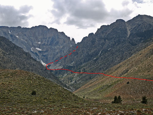
Taboose Canyon B from East A
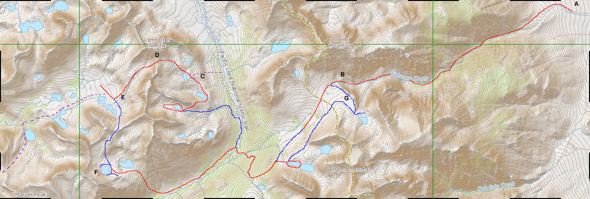
Map of 2017 Sierras Trip with Jim - Mile Scale Along Edges - Locations by Letters - 7½' Topo Map Grid - Days in Red or Blue - Old Lakes Basin Trip in Purple Dashes
