February 6-8 & 13-16, 2015
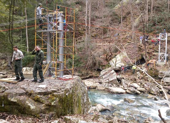
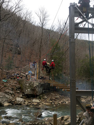
John / Mother Nature's Son and I day hiked most of the Cumberland Trail presently built between Signal Mountain and Ozone Falls / I40, ~74 miles. The trail is being developed by the Tennessee State Park system, and we met the trail's ranger at a suspension bridge being built over Big Soddy Creek.

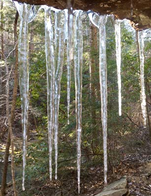
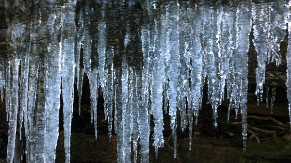
It was sometimes bitterly cold, but that made for some very pretty ice...
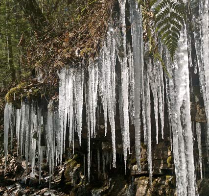
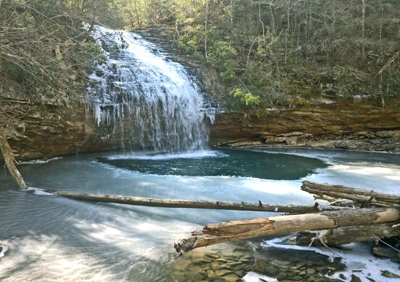
There were lots of old coal mines, but nature had recovered enough to make the terrain pretty. The mines and other artifacts made the hiking interesting.
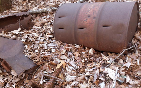
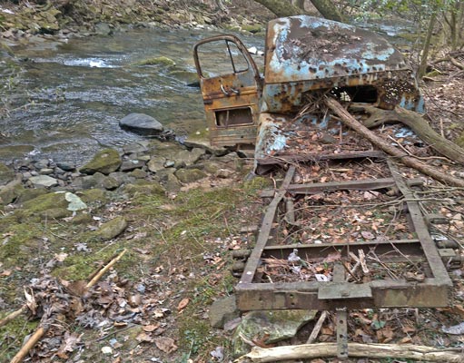
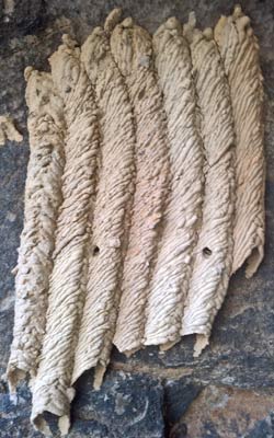
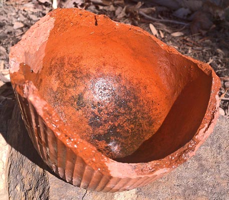
One dirt road was graveled with shards from crushed turpentine pots.
|
| Name | Latitude | Longitude | Comment |
|---|---|---|---|
| Chumley + Road | 36.466627 | -83.904562 | - |
| Carr Gap + Road | 36.501989 | -83.819160 | - |
| Car Carr Gap Road | 36.504306 | -83.820227 | - |
| CarrGap+RoadsTurn | 36.511627 | -83.828373 | - |
| +Roads | 36.487989 | -83.857000 | - |
| +Roads | 36.482719 | -83.863438 | - |
| +Roads | 36.478094 | -83.873378 | - |
| +Roads | 36.474351 | -83.874899 | - |
| +Roads | 36.469919 | -83.883197 | - |
| WilsonGap+RoadsTurn | 36.477282 | -83.905300 | - |
| Childress Gap | 36.479244 | -83.967133 | - |
| Woodson Gap | 36.457272 | -84.009104 | - |
| Chambers Gap | 36.421738 | -84.076309 | - |
| N Tennessee Ave | 36.387877 | -84.125705 | - |
| TrailheadKiosk | 36.134165 | -84.497856 | - |
| +FlatForkRoad BirdMountainTrai | 36.135902 | -84.498780 | - |
| LinlogBranch | 36.143189 | -84.490196 | - |
| +FlatForkRd BirdMtn/Cumberland | 36.154446 | -84.468043 | Tr/GreatEasternTr BlazedCT/GET |
| +FlatFrkRd CT/GET/NorthBirdMt | 36.155114 | -84.466908 | - |
| +FlatForkRd CoffinSpringsRoad | 36.145444 | -84.459009 | - |
| Gate PropertyBoundaryFHSP TWRA | 36.151042 | -84.449854 | TenWildlifeResourcesAgency FrozenHeadStatePark |
| CoffinSpring WaterInStoneBox | 36.151045 | -84.450218 | LowFlow |
| DrippingOverhangCave | 36.151679 | -84.450888 | - |
| +OvergrownRd White,RedBlazeTrl | 36.155372 | -84.450379 | - |
| +Road Trail | 36.155682 | -84.449875 | - |
| +CT/GET NorthBirdMountainTrail | 36.156404 | -84.466864 | - |
| TrailAtopBirdMountain | 36.150572 | -84.486510 | - |
| BirdMountainCamp Spring Table | 36.149299 | -84.488409 | - |
| +CT/GET NorthBirdMountainTrail | 36.144799 | -84.498532 | - |
| FortMcCookTrailStart | 36.608445 | -83.674114 | - |
| PinnacleOverlook | 36.605262 | -83.667166 | - |
| +RidgeTr SugarRunTrail | 36.618408 | -83.648603 | - |
| +SugarRunTr PicnicAreaAccessTr | 36.628327 | -83.671957 | - |
| +SugarRun,HarlanRoadTrails | 36.631279 | -83.675784 | - |
| Little/MarthaFalls | 34.387784 | -85.620335 | - |
| Name | Latitude | Longitude | Comment |