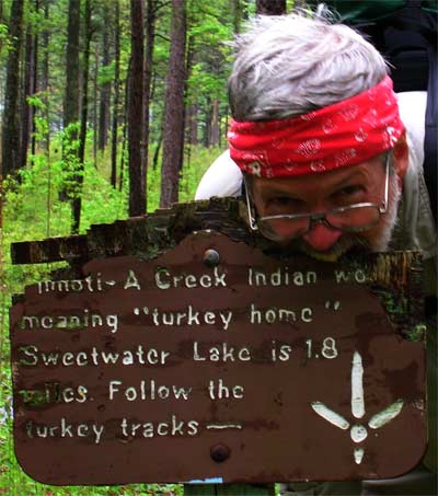
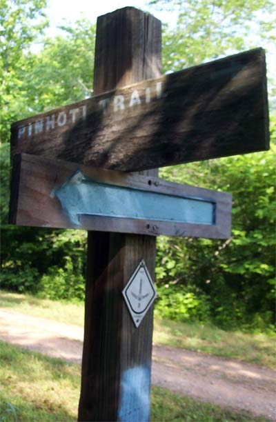
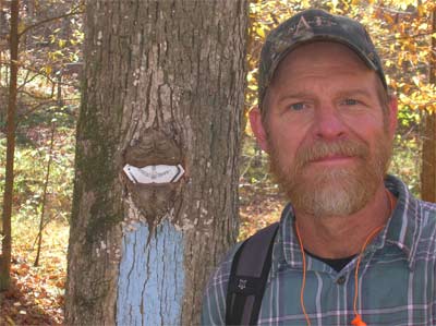
Pinhoti Trail Marker, a Turkey foot.
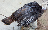
The Alabama turkeys are too shy, so I took this turkey picture in New Mexico.
In 2006, I finished a section hike of the Pinhoti National Recreation Trail. It is partly in Alabama, in the Talladega National Forest, and partly in Georgia, largely in the Chattahoochee National Forest, but with long road walks too (which I skipped). It intersects the Chief Ladiga Rail Trail in eastern Alabama. The trail stays high and runs on ridges whenever possible, and has many views in the winter, when the leaves are down.
Winter 2007/8 hikes
From December 22nd - 24th, 2007, I hiked from Bull Gap to Cheaha State Park. My friend Larry and his dog Zack walked with me the first few miles, then I was on my own, meeting no other hikers on the trail. The first day, the fog was thick enough that I could rarely see down to the valleys below, and often no more than 50 yards. Condensed fog was dripping from the trees. Near Wormy's Pulpit, the forest had recently been thinned, the pine trees that had been cut down were still bright green. I camped the first night just past Scott's Lake, having hiked about 14.5 miles. Overnight, it rained and there was a lot of turbulent wind. The second day, I walked to Patterson Gap and camped, having hiked about 17 miles. I saw 10 female turkeys and a pileated woodpecker. The day and night were incredibly clear, with long views and a crystal clear view of the full moon. I wore all my clothes to bed, but was still a little cold, so it was far below freezing. The third day also was very clear, with great views. I noticed water and mud frozen over an inch thick. I needed to meet my friend Mother Nature's Son at Cheaha Park Store at noon, so I took shortcuts across the loop out to McDill Point and down the dirt roads to the store, arriving only a little late.
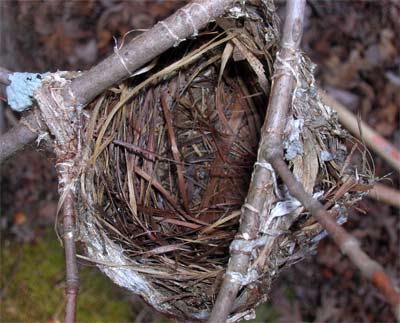
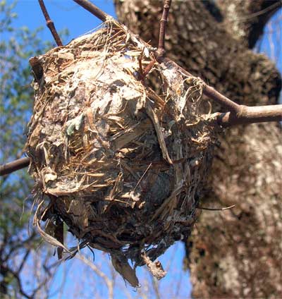
On December 25th, we walked on the Pinhoti in the Choccolocco Management Area to replace the register in the Laurel Shelter. A steady ice cold rain fell. We saw two flocks of over a dozen turkeys each.
We walked the Simms Mountain Rail Trail between Huffaker Road and Highway 100 December 26, and then up to the High Point Fire Tower in the evening.
December 27th, we walked the Simms Mountain Rail Trail from Starling Mill Road to the Highway 100 crossing.
December 28th I searched along Peeples lake Road for the trail but didn't find it. I got my truck stuck on slippery rocks and it took a long time to get un stuck.
I walked southbound from the Cohutta Overlook for a few miles and returned on December 29th.
On December 30th, I walked from the Cohutta Overlook to Mulberry Gap, FR18, and returned.
January 1st, I walked from FR18 up the Pinhoti trail and around the Bear Creek Loop, returning via FR241, FR90, and Shakerag Road. It was bitter cold.
January 5th, I walked from FR68 along the Bear Creek Trail, Bear Creek Loop Trail, Pinhoti Trail, FR64, and returning to FR68. I saw a turkey and a bobcat. There were 1/4" patches of snow in shady spots and lots of ice on the creeks, but the air wasn't as cold as a few days before.
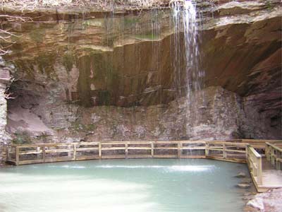
April 20th, I walked from Mack White Gap southbound along the dirt roads east of the trail until they joined the trail, then on south to the fire tower. Northbound, I took the trail back, including the Pinhoti Loop down to the Marble Mine Waterfall in Sloppy Floyd State Park. I saw a turkey and some crows.