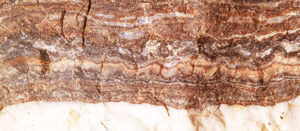
Quartz, Veins
The 330 mile Pinhoti Trail connects the southern ends of the Applachian and Benton MacKaye Trails with Alabama. I have hiked and maintained the Pinhoti many times. Points of interest include Cheaha Mountain and Flagg Mountain, each with CCC built stone / log guest cabins and stone lookout towers.

Quartz, Veins
More Eastern States Trails to add to my Network Maps
Rhode Island has a 78 mile North South Trail which passes through several State Management Areas and nine towns. Maps are available on line. A Wapaca Trail may connect with a Massachusetts Mid State Trail and on into New Hampshire and to Canada via a Cohoos Trail , crossing the Appalachian Trail at Crawford? Notch . From the northern terminus of the New England NST many hikers continue 18 miles north to Mount Monadnock, then 50 miles to Sunapee, and some day there may be 50 miles more connecting to the Appalachian Trail. There is a vast network of local trails in nearby states, including the Connecticut Blue Trail System , which might be useful for long distance hiking, though there is no designated long route, and much research might be required to locate a suitable series of trails, and maps. Formerly unmaintained sections of Kentucky's Sheltowee Trace have been cleared. Sheltowee people are considering a southern extention of the Trace to Tennessee's Cumberland Trail at Frozen Head. Reclearing an abandoned trail may extend the Sheltowee Trace north to Ohio's Buckeye Trail , which hosts the North Country NST. Steve Barbour, speaking at the March 2017 AHTS conference, knew much about the Sheltowee. I need to add these to the Eastern Trails Networks Maps.

Trees and Sky Reflect on Rippling Water
Tuesday, March 14, 2017
John and I visited many trail workers and others at Flagg Mountain. One unexpected encounter was Honey and Bear of Bear's Den Hostel in Andover Maine, who remembered me from my first Appalachian Trail hike in Maine. John drove me to the East Terminus of the Coosa Trail, and I began walking west. A turkey hunt season was just starting.
Camp: Coosa Trail Shelter, Noneless Creek Inlet
Miles: 6

Still
Wednesday, March 15, 2017
I finished the Coosa Trail and the dirt road walk to Flagg Mountain. One local, watching for Great Eastern and Eastern Continental Trail Hikers, told me his history with Flagg Mountain, and offered me all the water and whiskey I needed, from (separate) gallon jugs. I visited the stone tower and cabins atop Flagg. AHTS members are restoring the structures one by one.
Camp: Flagg Mountain CCC Cabins
Miles: 20 26

Old Sign Painted on Closed Store
Thursday, March 16, 2017
Ed M and I repainted blazes and cleared blowdowns from South of Porter Gap to the Road 600 / Pinhoti Trail Junction north of Chandler Springs.
Camp: Flagg Mountain CCC Cabins
Miles: 6 32

Fire Truck Panel
Friday, March 17, 2017
Much of today's walk, between Weogufka and Trammel TH, was on roads. Weogufka was the most interesting bit, with an old fire truck, some antique farm eqipment, and a war memorial to photograph. Also, a local, Rick, and Nomad each stopped a couple of times to chat, and offer snacks.
Camp: North of Trammel Trailhead, Pinhoti Trail
Miles: 21 43
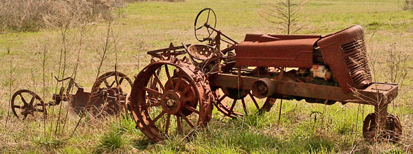
Tractor
Saturday, March 18, 2017
Ed, Rick, John and I cleared blowdowns, lopped, and weed whacked from Chandler Springs to Clairmont Gap.
Camp: Leeds
Miles: 6 49
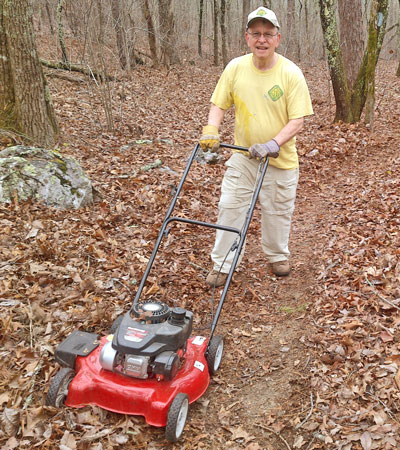
Rick Mowing the Pinhoti Trail
Sunday, March 19, 2017
John and I cleared blowdowns from south of Choccolocco Reservoir and Shelter to Pinky Burns Trailhead, including a few that were climb throughs or unstable and sliding down sidehill.
Camp: Leeds
Miles: 6 55
|
Choccolocco Creek Watershed Project Floodwater Retarding Dam Number 2 | |
| Drainage Area | 13,664 Acres |
| Total Storage | 7,190 Acre Feet |
| Water Surface | Area 31 Acres |
| Height of Dam | 66 Feet |
| Volume of Fill | 180,900 Cubic Yards |
|
and Flood Prevention Act by Calhoun County Commisioners Court and Choccolocco Creek Watershed Conservancy District and Calhoun County Soil Conservation District with the Assistance of Soil Conservation Service of the US Department of Agriculture 1968 | |
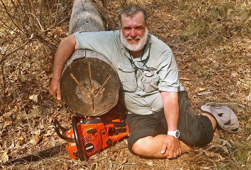
Dan with Sawn Tree

Sunset
Monday, March 20, 2017
With Sale's home baked bread to fortify me, I walked north from Trammel Trailhead. There were recent slash and control burns. Some Turkey feathers had bright metallic copper luster bands, which appeared irridescent at high incidence angles. I found a stand of old catface stumps, sawn above the sap collection scars, and old radio telephone steel wire, but no insulators in trees. There was a great deal of smoke from burns to the west, which brought a nice gradient sunset.
Camp: Sherman Cliffs
Miles: 19 74
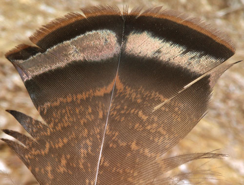
Turkey Feather with Copper Sheen
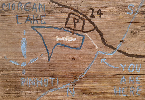
I Carved this Map of Morgan Lake.
Tuesday, March 21, 2017
I pulled a tick and saw a Ringneck Snake. It was hot, and I swam at Scott's Lake, where there were Beaver dams.
Camp:
Miles: 19 93
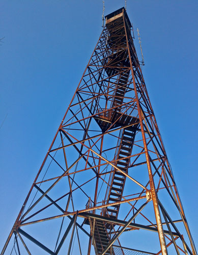
Horn Mountain Fire Tower"
Wednesday, March 22, 2017
I ran into two college groups and a couple of day hikers in the Cheaha Wilderness.
Camp: Hernandez Peak
Miles: 16 109
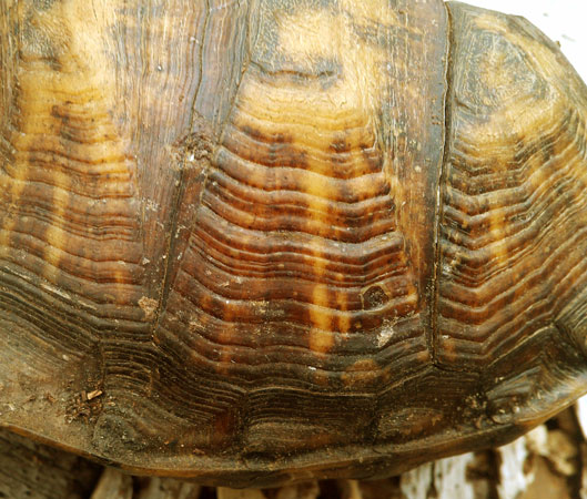
Box Turtle Scutes
Thursday, March 23, 2017
We worked around the house and organized gear.
Camp: Leeds

Box Turtle Backbone
Friday - Sunday March 24 - 6, 2017
We attended the Alamama Hiking Trail Society conference at Camp McDowel, Nauvoo, Alabama. I gave one presentation on hiking technique and another on the long trail network of the eastern states. These were well received. There were many other informative talks, but with two tracks, I unfortunately could not attend them all. A Robert Pasquill Jr gave one on the history of the Pinhoti, and has written several books on the history of the CCC in Alabama.
Miles: 2 111

Owl and Rick
Monday & Tuesday, March 27 & 28, 2017
We did electrical work around the house, including a new 20 Ampere GFCI circuit for a bathroom where breakers had popped previously. New under cabinet LED lights and a fume hood for the kitchen, and new pull chain switches for two ceiling fans, completed the list. One fan speed switch never did work, and John had to fix it again later. Apparently, there are different types of switches for 1, 2, or 3 capacitor motors, and for various coil winding schemes, and determining the right part number for your ceiling fan may be quite difficult.
Camp: Leeds
Miles: 0
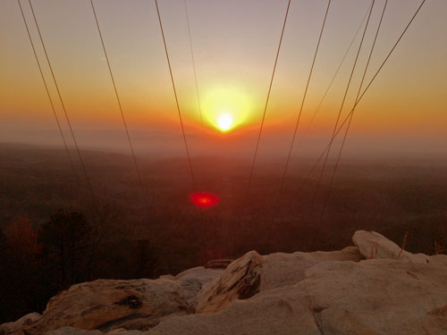
Sunset
Wednesday, March 29, 2017
I walked from the High Falls Trailhead along the Odum Scout, Nubbin Creek, Cave Creek, Bald Rock, and Pinhoti Trails. Streams were flowing nicely. At the base of some trees, wood dust was bonded into grains the size and shape of rice grains. Similarly, there were 3⁄32" balls of sand piled at some dirt tunnel heads. Both presumably help tunneling insects remove drilling wastes efficiently. The day was warm and humid, and many types of small lizards were out. While I was photographing a 3D spider web with tunnels situated in a knothole, a shiny grey skink appeared behind the web and watched me. I saw a 4" shiny black snake near the Leaf Gate Trailhead. I saw Crows and both Black and Turkey Vultures. There was little traffic in Cheaha State Park's spectacular CCC built restaurant, and I lingered at a center window table a while.
Camp: Pinhoti Trail north of Bald Rock Trail
Miles: 12 123
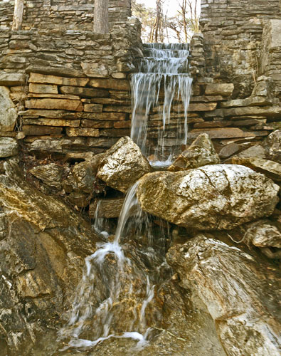
Cheaha Water Garden
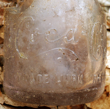
Coke Bottle
Thursday, March 30, 2017
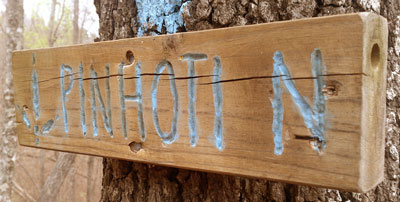
Near Road 24 I saw a foot long shiny black snake with a dorsal stripe the sheen of oxidized copper but of a darker, greener color. In one Pinhoti sign I had carved, an insect had bored into the end grain ½" diameter holes. Starting perhaps a ¼" in was a thick mud plug, followed by fluffy silk packing, then the remains of larvae, cocoons, etcetera. Rain was very heavy in the evening.
Camp: Pinhoti Trail north of Interstate 20
Miles: 20 143
|

|
Friday, March 31, 2017
I saw a 2' black rat snake who had been run over and was missing a couple of 1 square inch skin areas, but he had motion control over the full length of his body. There was a good bit of blood on the gravel road, and I couldn't guess at his internal injuries, but I moved him to the woods and let him be. I left the Pinhoti at 529 and joined John at FR531. John and I drove to Valdosta, Georgia, to check out the Withlacoochie River, a tributary to the Suwannee.
Motel: Valdosta
Miles: 12 155

Tom, 1896 Langston Ferry Crossing
Saturday, April 1, 2017
John and I continued to scout the Withlacoochie, seeing it from road bridges and discussing it with the outfitter at the Suwannee Music Festival (private) Park. The flow was low enough that dozens of drags over shoals, some long, would be required. I bought a paddling map of the Florida part of the Suwannee River system from the outfitter. John and I hiked several Florida Trail segments near the music park. Discussions Tom had with other paddlers convinced us instead to paddle the Ochlockonee River, in the Appalachicola National Forest, west of Tallahassee.
Motel: Tallahassee
Miles: 3 158

Egret Track with Dragging Gait
Sunday - Wednesday, April 2-5, 2017
John, with a great deal of tooth pain, returned to Alabama and an eventual root canal. Tom and I paddled from Ed and Bernice's Fish Camp, just downsream of the Lake Talquin Dam and Highway 20, to Ochlockonee River (Florida) State Park. High, dry banks are availble for camping along more than half of the river for light packers willing to scramble up river banks. We needed flat sandbar beaches because Tom packs easily 30x as much gear as me, and they were available maybe once evey few hours. The paddling was easy. One sandbar had tracks of Racoons, Pigs, Whitetail Deer, Bobcats, crabs, clams, and many types of birds. There were large bird tracks with two claws forward and two behind. Osprey and Black and Turkey Vultures frequent the area: I need to check their track types. There were patterns of large birds beating their outstretched wings into the sand.
At another beach I saw scratches from 4 Racoon claws in vertical sand walls resulting wake wave erosion. 3' Gar surfaced regularly, and smaller fish leapt well clear of the water at night. We saw a Pig, a Deer, many Alligators, and a Banded Water Snake. Monday night had extremely heay rain, with the state park measuring 6", and the river rising over a foot overnight. In one Longleaf Pine stand, a couple watching a Red Cockaded Woodpecker Picoides borealisnest shared their observations and photos. They had seen the adults pecking the tree scabs to keep the sap flowing to the anti snake slicks around the nest, and they had seen the young occasionally peer out from the hole. Night sounds were loud, continuous, of many different animal types, and fascinating. We saw a white squirrel Sciurus carolinensis at the state park. As their eyes are colored, these white squirrels are not albino but leucistic.
Camp: Ochlockonee River
Miles Paddled: 62

Dugout Canoe - Built by Park Ranger
Thursday, April 6, 2017
Tom and I visited Saint Marks Wildlife Refuge and saw many birds. We then headed for Alabama.
Camp: Leeds
Miles: 1 159
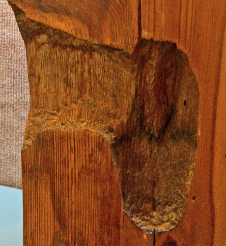
Red Cockaded Woodpecker Nest Cavity
Friday, April 7, 2017
John and I cleared perhaps 75 blowdowns working northbound from Maxwell Gap / County 70 to High Point Trailhead / US278. One highlight was following a beautiful fox with a grey coat, a black back ridge, and a rust red face. For perhaps two minutes I walked maybe 50' behind him, getting a great look. When he happened to swivel his head back and saw me, he bolted and was gone. Another memorable event occurred as I was tossing a 5' long, 6" diameter rotten log off the trail. The first couple of attempts at lifting one end just broke rotted chunks off. Then, as I lifted the log, a six inch snake made his escape from right next to my hand. I was in motion, and the snake and log were in motion, but I could see the snake was shiny, battleship grey, and had some dorsal stripes before he disappeared in the leaf litter. I then started a southbound Pinhoti walk at Maxwell Gap. There were two new staircases at the Oakey Shelter since I had visited January 3rd, but the table still needs 3 bench boards and repairs as described then. Between roads 70 and 94 are perhaps 10 blowdowns. North of road 70 by 100 yards is a sign lashed to a tree that needs a posthole digger and digging bar to rebury. North of road 94 the mileage sign has been pried from its 4x4 post and needs to be reattached with deck screws. North of the Cheaha Wilderness, as a general rule, the blazes need to be scraped and repainted.
Camp: Pinhoti Trail - Oakey Mountain Shelter
Miles: 10 169
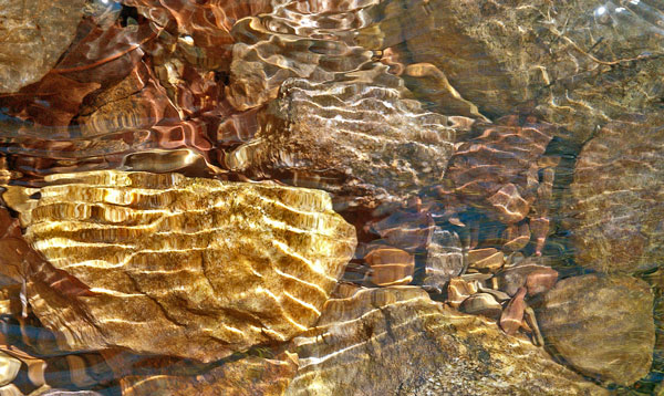
Stones in Flowing Creek
Saturday, April 8, 2017
There were Indian acorn leach pools in cascades at one creek. 1 was worn smooth, perhaps by push pull metate style grinding. I saw 3 Whitetail Deer at Terrapin Dam. A large amount of trash has been left at North Dugger Mountain Shelter. Two honking Canada Geese overflew me at Choccolocco Shelter.
Camp: Pinhoti Trail - Choccolocco Shelter
Miles: 17 186

Leaf
Sunday, April 9, 2017
As I crossed Choccolocco Dam, wisps of mist floated over the glassy water. 1 horizontal rotor of mist rose from the surface and made a lazy ascent high above, and dissipated. Two honking Canada Geese, perhaps those from last night, later paddled across the lake, their V wakes overlapping.
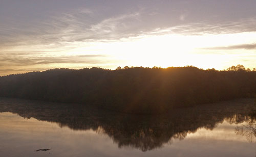
Sunrise
Relaxing over a morning snack on the floor of a canyon, a coyote came over a ridge and searched the slope for breakfast. Noticing me after a few minutes, he ceased sniffing at holes, etcetera, and ascended to the ridge directly, but not in a great hurry. He remained on the ridge through my snack.
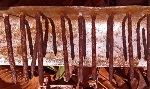
Still
I found the remains of a whiskey still.
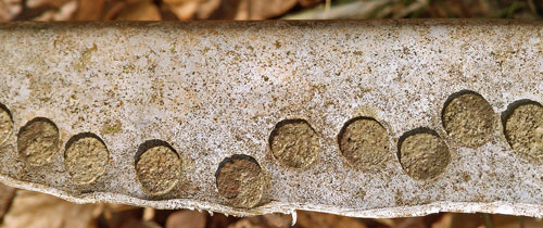
Still
At one creek, I found tracks of a fox, fresh enough that a foot smear on a stone glistened with wetness.
At Laurel Shelter, a roofing leak has caused some staining and fungus growth on the roof plywood. The wood still feels solid and intact, and was dry where I felt it. A repair now may save replacing the plywood later. The Asphalt/Glass shingles are covered with a permanent leaf litter layer, likely permanently wet and biotic at the shingle layer. This made inspection from afar impossible, and I didn't feel it would be safe to climb up without a ladder. Still, I would guess that at some past point, a limb dropped on the roof and punched through the shingles in a few places. I recommend returning with a ladder, hammer, nails, sealant, and one bundle of shingles. A flat shovel or hoe to remove the leaf litter layer would be nice. The shingles are grey, and the total roofing area is about 400 square feet.

Sunrise
I often leave the trail for a while and travel on other trails or cross country before intercepting the main trail later. On one such trip, my left foot sunk almost to my knee in quicksand, requiring some load spreading over my arms and right leg to pull out, then a trip to another creek to wash my limbs, boots, and socks.
An old Coyote scat had rotted away to just ½" grey hairs and rodent bones, including little jaws with grinding teeth. Some squirrel had become lunch long ago.
A few fireflies lit at mid tree level at Lower Shoal Shelter, and I saw one glowworm reply.
Camp: Pinhoti Trail - Lower Shoal Shelter
Miles: 21 207
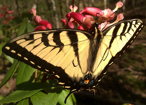
Butterfly
Monday, April 10, 2017
I walked south to FR529 and met John near the YCC Crews stele. We collected a full size trash can liner worth of junk at the North Dugger Shelter. On the way in we found a spotted egg a little larger than a chicken egg and took out a stepover blowdown. We cleared the Pinhoti from US278 High Point Trailhead to Salem Church Road, including many simple blowdowns and carving perhaps an interesting walkthrough from a tree crown laying parallel to the trail, and hauling a crate of trash from the Davis Mountain Shelter.
Camp: Leeds
Miles: 11 218
Tuesday, April 11, 2017
I took a zero in Leeds, and washed and reorganized gear, maps, etcetera.
Camp: Leeds
Miles: 0

Stones in Flowing Creek
Wednesday, April 12, 2017
There were new yellow stamped steel No Trespassing signs on the Pinhoti just north of Salem Church Road, as well as on the disused dirt road a little west. I noted no other trespass signs the rest of the day. There was some new flagging tape off trail a few places, perhaps remarking property corners. There were perhaps a dozen easy stepover blowdowns south of the crest, and a few more difficult to cross blowdowns on the descent. I met 2 local backpackers, 1 at each shelter. The shelters are nice, and were built since my last work and hiking trips on the section. The border flags were fresh. I think the Pinhoti has the best border marker of the many interstate trails I've hiked. A Pileated Woodpecker drummed at Spring Creek Shelter. I finished
Canoeing with the Cree, Eric Sevareid, 1935. Some time ago I finished reading Swamp Screamer: At Large with the Florida Panther, Charles Fergus, 1996.
Camp: Spring Creek Shelter
Miles: 6 224
Thursday, April 13, 2017
Since my section hike years ago, miles of new trail have been built, to within a few miles of Cave Springs. Many thanks to all those involved. Part of today's route is also Cherokee Trail of Tears NHT, including a couple of historic buildings in Cave Springs. There were also a couple of markers for missionaries of that period. Three people in Cave Springs knew all about the Pinhoti, plus there had been a Pinhoti day April 1, when people had been shuttled out to hike some of the trail. This level of involvement is unusual for trail towns: three cheers!!! There was also good food and nice things to see in town. To ensure I could camp legally on a long road walk, I went up Georgia 100 rather than going into Rome. I left the Great Eastern Trail and the Simms Mountain Trail to climb to High Point and continue north along the Pinhoti.
Camp: High Point Trail
Miles: 25 249 (+11 miles riding along GA100)
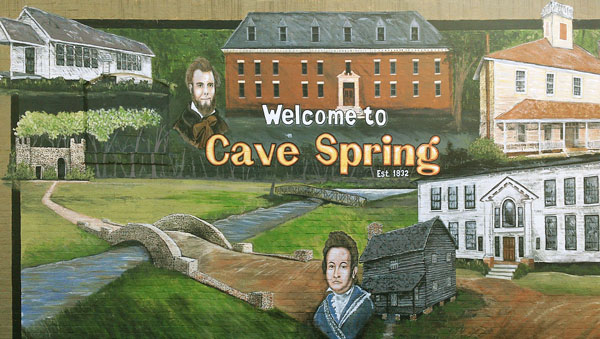
Cave Springs Painting
Friday, April 14, 2017
I dropped into Sloppy Floyd State Park to find water and see the quarry / grotto. A park trail map might have been nice. I saw Turkeys there and later. I also found 2 clear flowing springs on the dirt road walk south of US27 Mack White Gap. North of that were many water sources. I saw an Eastern Box Turtle, and a few shy lizards. The stone ruins of the probably CCC Narrows Picnic Area offered evening entertainment. I met 6 trail users, all south of 27.
Camp: Beyond CCC Narrows Picnic Area
Miles: 20 269
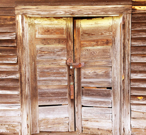
Barn Doors
Saturday, April 15, 2017
I saw Dung Beetles rolling balls in Horse and Coyote scats. Frogs sand in Pilcher Pond. Many people were out for Easter weekend at various places, especially Keown Falls. I started reading Bhagavad Gita as it is, A C Bhaktivedanta Swami Prabhupada.
Camp: Pilcher Pond
Miles: 20 289
Tree
Sunday, April 16, 2017
There were Salamanders in Swamp Creek and its tributaries. And more Dung Beetles were hard at work. Trail cyclists gave advice on water sources and alternate routes into Dalton. The heat has been intense for days, so laundry, shower, and unending water drinking in town were great luxuries. Allergies, too, have caused sneezing fits, swollen sinuses, and itchy eyes and mouth. It's likely to rain most days for the next two weeks.
Motel: Dalton
Miles: 21 310
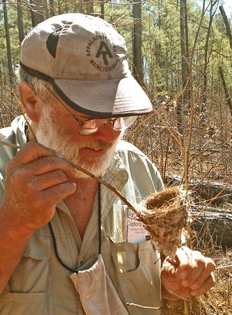
Dan Inspects Bird Nest
Monday, April 17, 2017
Had I followed the current prescribed road walk east, I would have had to walk nearly 30 miles, and stopped for resupply, before reaching the Chatahoochie NF and legal camping, all before a predicted afternoon thunderstorm. It seemed impossible, so I chose a more direct route, at least partly an old Pinhoti route. I resupplied four miles in, and was tanking up on liquids and burgers when I met a local guy and talked about hiking a while. He later picked me up and drove me 5 or 10 miles. That got me into the forest in early afternoon, and I won't miss the roadwalking I saw a Black Vulture and a dead 12" Copperhead Snake. A prospector told me he had seen several Copperheads. The rain was fairly intense. The babble of the creek I camped by sounded sometimes like men singing.
Camp: Baker Branch
Miles: 19 329
Map: 777, Chatahoochie NF
Sunset
Tuesday, April 18, 2017
I saw a Pileated Woodpecker and heard a Barred Owl. One area had pine saplings with insect galls coveredwith orange fungus. Some grape vines were 5 inches in diameter. Lots of rain left me with wet clothes and friction rashes. The big Bennet Poplar Tree had many Sapsucker holes. I should reach the northern terminus of the Pinhoti Trail and start north on the Benton MacKaye Trail tomorrow.
Camp: Ascent from Bennet Poplar and Bear Creek Loop
Miles: 21 350
Map: 777, Chatahoochie NF